
Best West Coast mountain views
Inspiring alpine landscapes with picture perfect views
At almost every turn on the West Coast there is yet another majestic mountain peak or snow-capped alpine range rising into the sky, or maybe shimmering from the mirror surface in a tranquil lake or waterway.
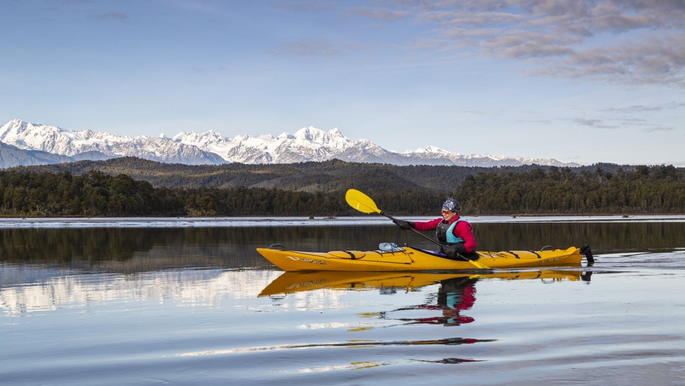
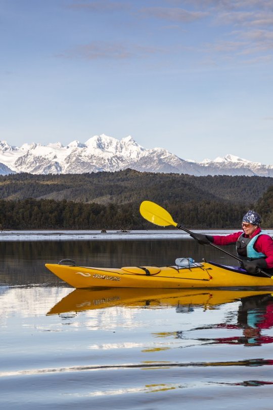
View of Southern Alps from Okarito Lagoon
The perfect location to enjoy the mountain views on a kayak or a boat.
New Zealand’s highest peaks — Aoraki/Mt Cook, Mt Tasman — and almost the entire length of the Southern Alps are the constant background to this inspiring, wild and spectacular mountain to sea landscape.
When it comes to reflections, West Coast lakes stand out because the naturally dark waters — stained brown by organic matter leached from the forest floor — create perfect mirror conditions.
Many of the best views are easy to access, while others demand more time and effort. And, for those who want to sit back and relax, some of the most spectacular and out of the way alpine scenery awaits on any scenic flight — and there is a wide range of flight-seeing opportunities throughout the West Coast.
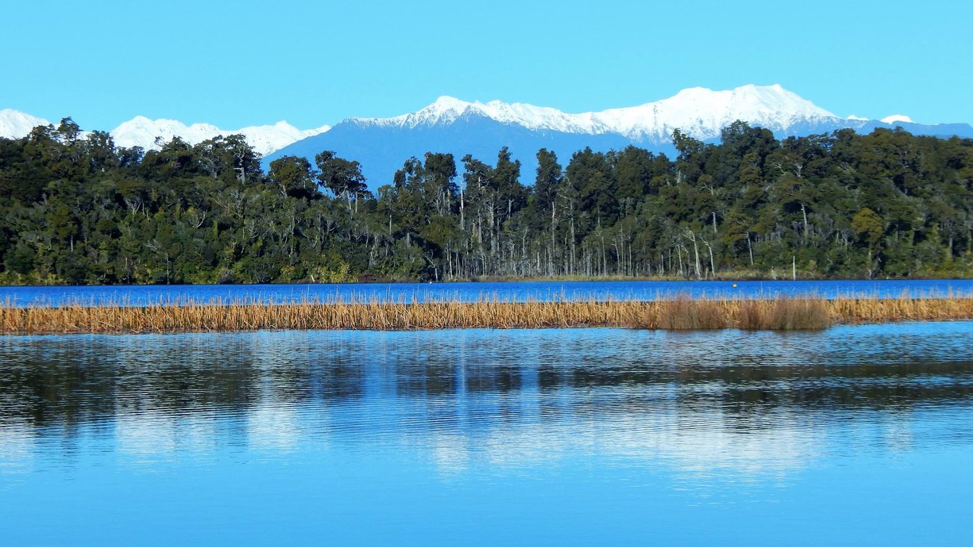
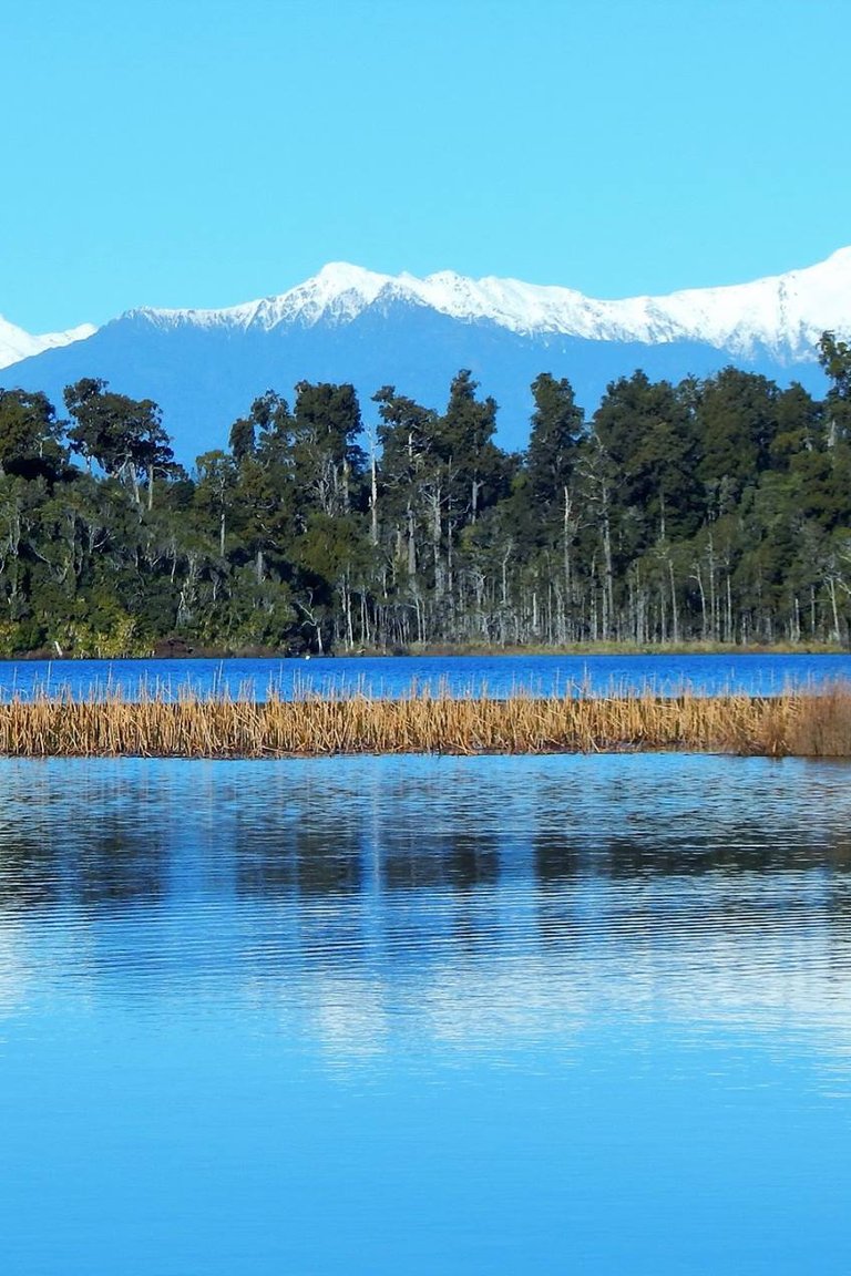
Lake Mahinapua, Hokitika
Lake Mahinapua, near Hokitika, formed part of a network of waterways that were once a main highway on the West Coast.
LAKE MAHINAPUA SCENIC WATERWAYS, HOKITIKA
People have been cruising lovely Lake Mahinapua and the historic network of coastal wetland waterways for as long as humans have been visiting the West Coast. Today there are walking and cycle trails skirting the water’s edge, and you can kayak or cruise through the tranquil waterways and forested wetlands bordering Lake Mahinapua.
The majestic views of the Southern Alps, brooding remnants of virgin rain forests and reflections in the languid mirrored waters are a photographer’s dream canvas. The best way to visit and learn about this precious wetland environment is by water — West Coast Scenic Waterways offer kayak hire, and guided day and sunset cruises on the Eco Adventurer.
Lake Mahinapua is 10 km south of Hokitika.
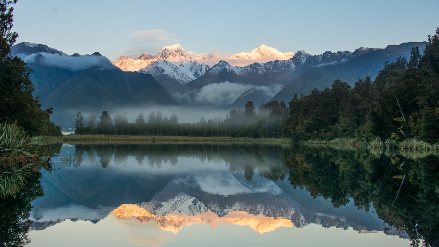
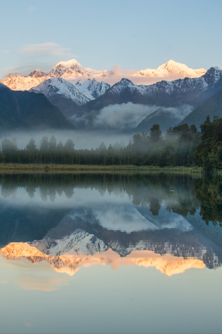
Lake Matheson, Fox Glacier
Lake Matheson’s classic postcard mountain reflections of New Zealand’s highest mountains, Aoraki/Mt. Cook and Mt. Tasman.
LAKE MATHESON, FOX GLACIER
Lake Matheson’s classic postcard mountain reflections are among the most recognised, accessible and photographed alpine landscapes in New Zealand. The views framed by temperate rainforest and mirrored in these still waters include Aoraki/Mt Cook and Mt Tasman — Aotearoa New Zealand’s highest mountains.
On a good day, there are the unsurpassed dream shots while, on the occasional wet West Coast day, the wide, well maintained track around the lake is an easy walk revealing atmospheric rainforest and lake views. It’s especially beautiful at sunrise and sunset.
The Fox Glacier Peak View Lookout — a short drive further down the road from the Lake Matheson turn off — offers accessible and excellent views of Fox Glacier (on a clear day).
Lake Matheson is 5 km from Fox Glacier Weheka township towards the coast. The outstanding Lake Matheson Cafe has stunning mountain views.
Read more about Glacier Country here.
Lake Gault, Glacier Country
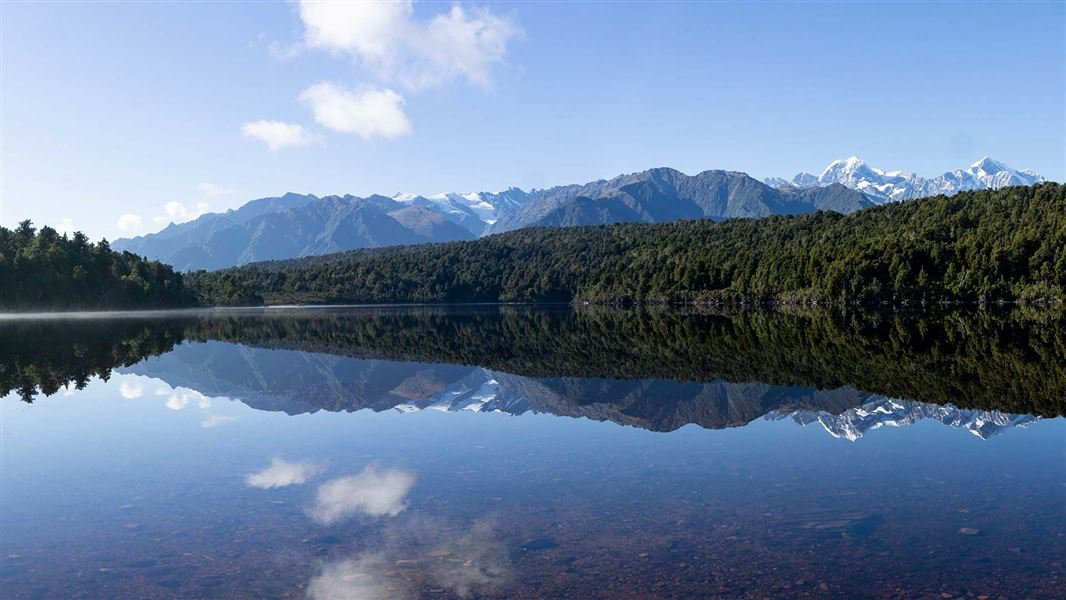
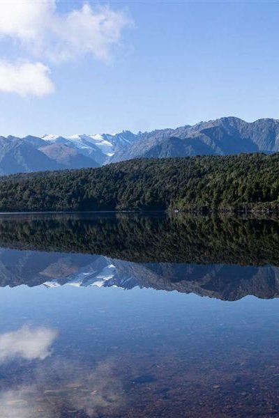
Alpine reflections on lovely Lake Gault — a less-visited but worthy rival for nearby Lake Matheson.
LAKE GAULT
For mountain views slightly more off the beaten track, the mirror views at Lake Gault rival nearby Lake Matheson, and are a worthy reward for the hike up the newly built Lake Gault Track to the splendid hilltop vantage point.
As with its famous neighbour, Lake Gault’s mysterious waters are stained dark by natural tannins, creating the perfect canvas for spectacular reflections. On a still day, the sweeping views of Aoraki/Mt Cook and Mt Tasman will be reflected in the waters of Lake Gault.
The Lake Gault Track starts from the Lake Matheson car park (5 km from Fox Glacier Weheka township). It’s classed as easy walking but at 8 km return, it takes around 3 hours up and back.
Read more about Lake Gault here.

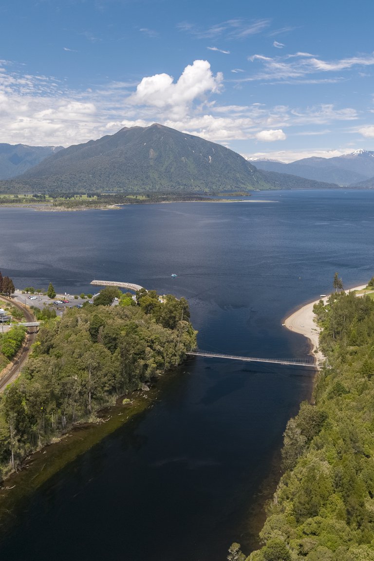
Lake Brunner
Lake Brunner is the largest lake on the West Coast and a favourite locals’ summer holiday spot.
LAKE BRUNNER
Tranquil Lake Brunner is a popular freshwater summer spot. Its deep inky waters offer year-round, world-class trout fishing and a pristine setting for camping, kayaking, swimming and boating.
Many lakeside spots offer fine views across the lake with mountain peaks rising in the background or reflected in the water. Follow scenic lakeside trails or explore hilly hikes, including the short but photogenic Carew Falls Track with its misty waterfall, or hike up Mount French (1305 m, 7 km / 8 hr return track for more experienced trampers) for spectacular views of Lake Brunner and the Southern Alps.
Lake Brunner is inland from Greymouth via Kumara to the southern end of the lake (45 km / 45 min). The TranzAlpine scenic rail service stops at Moana on the northern edge of the lake.
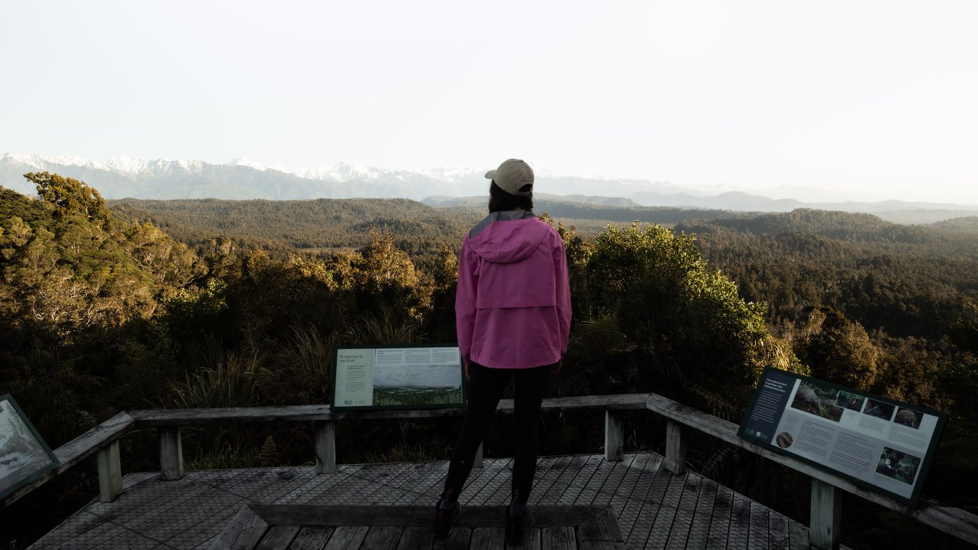
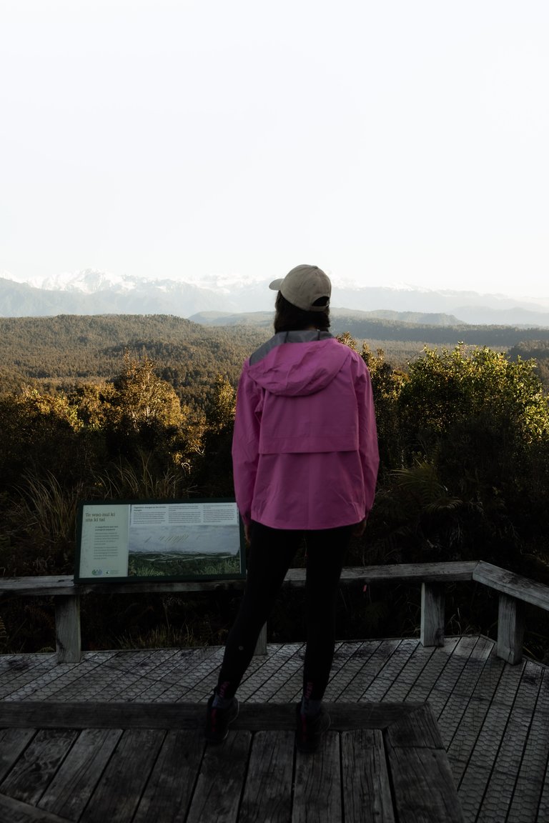
Ōkārito Trig, Glacier Country
The 360 views from Ōkārito Trig sweep from snowcapped mountain peaks to the Tasman Sea and via beautiful Ōkārito Lagoon.
ŌKĀRITO TRIG / ŌKĀRITO LAGOON
Ōkārito, a tiny waterside settlement just north of Franz Josef where the sheltered coastal lagoon meets rainforest and wild coastline, is a haven for rare wildlife and a destination with many sides. It’s a scenic departure point for some of the best mountain to water and forest views found at Ōkārito Lagoon, New Zealand’s largest unmodified wetlands.
On a blue-sky day, the forest reflections on glassy water dominated by the snowy mountain backdrops is an awesome experience. Hire a kayak or take an Ōkārito Boat eco tour into rainforest waterways to view rare wildlife like the elegant kōtuku/white heron and experience this lovely, untouched wilderness.
Recommended walks include the gentle Ōkārito Trig Walk (easy 4.2 km / 1.5 hr return) to a viewpoint with breath-taking views of Westland Tai Poutini National Park, snow-capped Southern Alps, forest, lagoons and beaches. The short 1 km Ōkārito Wetland Walk follows a boardwalk to another viewpoint overlooking the estuary.
The turn off from SH6 to Ōkārito is 15 km north of Franz Josef Township
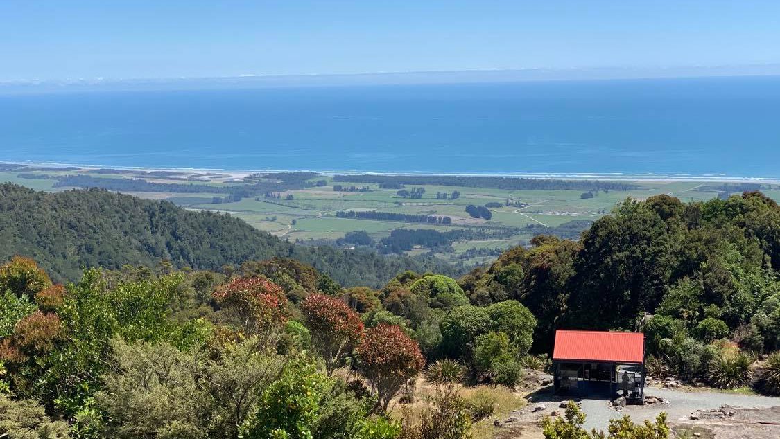
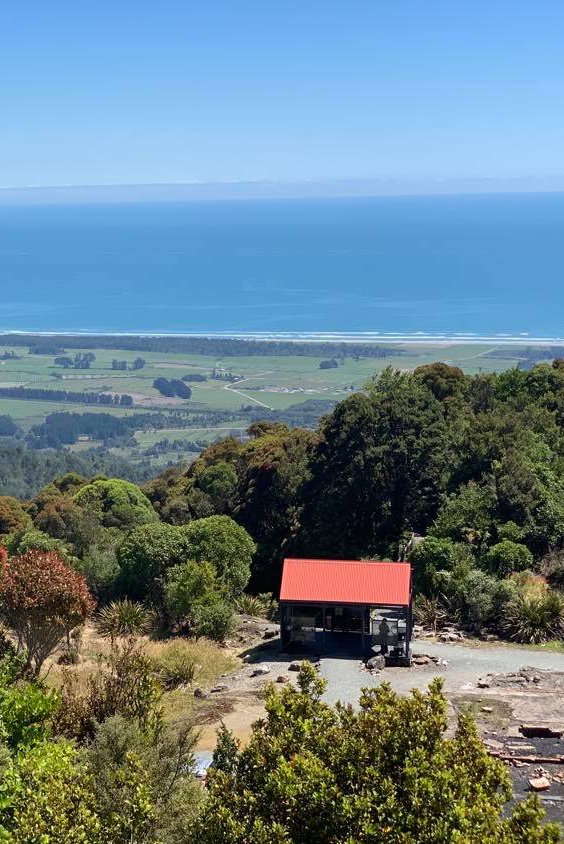
Denniston Incline, Westport
Magnificent views from the old gold mining ghost town on the Denniston Plateau in the hills above Westport.
DENNISTON INCLINE, WESTPORT
Life was notoriously difficult on the Denniston Incline back in the coal mining days of the late 19th century / early 20th century, but the views from the mountain plateau — an abrupt 600m rise above sea level and the coastal lowlands around Westport — were always dramatic.
Denniston offers magnificent views west to the Waimangaroa River and the Tasman Sea, north to the Karamea Bight and the Kahurangi Ranges, and south to Westport and Cape Foulwind. On a clear day, there are snow-capped mountains in the distance; in winter when it can be bleak and windswept there’s an entirely different perspective.
The scenery in this heritage location also includes relics from the mine and the old settlement, including the impressive 1670 metre incline railway - a terrifying feat of gravity-assisted engineering that transported coal to the bottom of the hill. Once known as the eighth engineering wonder of the world, it operated from 1880 until 1967.
Denniston is 18 km (30 min by road) north east of Westport.


